


Wondermaps is a customizable collection of over 350 maps. The maps are arranged by subject--either by region, such as continents or regions; by period of history or by themes such as
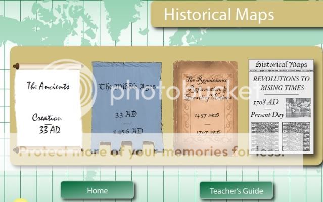 Chinese Dynasties, Twentieth Century Treaties or World Wars. These maps can be printed out in full color and detail for the student to have as a reference as they study a particular point in history. If you want your students to retrace the steps of Magellan on paper, complete with having them label the key geographic features, you can simply chose what basic features you want included on the map, from borderlines, rivers, mountain ranges, etc, click print and voila! a blank map ready for your eager young students to display their grasp of circumnavigation as they discuss sixteenth century politics. When studying the effects of war on boundaries you can have them overlay the older, pre-WW2 maps with current maps showing the new and improved borderlines of the nations in question, prompting a rousing good discussion of the repercussions of unchecked power, or at least the pursuit thereof.
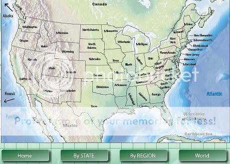
The best thing of all is that rather than realizing that you cannot find the atlas that you like to reference and having to hunt online for the perfect map of the Qin Dynasty, all you have to do is to turn to the software already downloaded on your computer, chose the features that you desire to be included and you are done--the perfect tool for bringing life to your history studies.
Considering this is towards the end of the school year and we received this during the busiest time of year for our dairy, we have been frustrated that we have not been able to really dig into all of the permutations of this software. We are extremely excited about the difference that this will make for our family in the future. It is somewhat telling that some of my children could hardly keep their hands off of the program. It is typical for our children to fight over history books and this proved to be a big hit, with them immediately checking out the maps for their favorite parts of history. I can tell you that the program received unanimous praise--we shall see if they maintain the same level of interest in it when maps from the software being studied are actually assigned, rather than being something that they can print from to have their own personal visual of their favorite parts of the Civil War.
The software includes a teacher's guide, complete with a tutorial, a user manual, two bonus MP3 including "Loving Geography", "Packing a Punch with Timelines and Maps" and resources such as how to make a salt-dough map and easy mapping projects.
WonderMaps retails for $49.95 and I feel that it is a reasonable price for an excellent product. It will save me much time and money to not be having to stalk the library or spend hours online trying to find just the right map for the purpose! The license allows for download on two specific computers within the home as well as an additional copy made for safekeeping, such as a thumb-drive.
Overall, this software will likely be one of a very select group--something that we reviewed and that we decided to hang on to and actually utilize over and over after this year is complete.
No comments:
Post a Comment